East Side Healthy Streets Initiative

Attend the next community meeting!

Join GObike and the City of Buffalo Department of Public Works on Thursday November 19, 6:00P-730P at the Delavan-Grider Community Center to discuss this temporary demonstration project. Interact with maps of Michigan, Grider-Litchfield, Trinidad Neighborhood, Kensington, and E Delavan.
We want to hear how you get around your neighborhood, how you’d prefer to get around your neighborhood, and what challenges you have encountered preventing you from doing so.
Parents – there will be pizza!
Please register (for free) in advance to help us plan to accommodate everyone. 
Thank you!

Did GObike talk to the community about this prior? Yes.

Below is a summary of all the community engagement we’ve done about this project in the Masten District:

East Side HSI_ Progress Report (Masten District)

Project Overview & Funding

The East Side Healthy Streets Initiative (HSI) is a core deliverable of the Clean Mobility Buffalo consortium, an alliance of 10 local nonprofits and neighborhood leaders. Since 2023, GObike has led HSI implementation with $10,000,000 in funding from the NYSERDA Clean Transportation Prize Program. These funds originated from Volkswagen emissions-violation fines and were awarded to create cleaner air, safer streets, and healthier mobility options for people walking, biking, rolling in wheelchairs, riding transit, and driving in Buffalo’s East Side.

HSI uses low-cost, temporary “quick-build” interventions (paint, flexible bollards, and placemaking elements) to calm traffic, improve visibility and safety, and gather real-world data before the City of Buffalo considers permanent changes. All designs were prepared by a licensed traffic engineer, met federal MUTCD and NACTO standards, satisfied ADA requirements, and received full approval from the City of Buffalo Department of Public Works Engineering team.

GObike’s portion of the CMB work has focused on two major projects:

 – East Side Trails

Click here to learn more about how GObike’s Feasibility Study (2023-2024), informed by adjacent stakeholders, evolved into its current Design and Engineering phase (2025-2026), and is anticipated to break ground on construction this year. The East Side will soon feature some of the most beautiful trail systems in the region for residents of adjacent neighborhoods to enjoy, with a focus on accessibility, traffic safety, public art, history, and neighborhood input.

 – East Side Healthy Streets Initiative

Click here to learn more. Along Michigan Avenue and Kensington Avenue, in the Trinidad and Delavan-Grider neighborhoods, work has commenced to temporarily redesign roads and intersections to provide greater protection and visibility for people walking, using wheelchairs, and biking, and to slow dangerous traffic to safer speeds. The roadwork, featuring paint and flexible bollards, was preceded by neighborhood clean-ups, the installation of planters, garbage receptacles, and benches.

Community Engagement & Outreach (2024–2026)

HSI was built on deep, multi-channel engagement with East Side residents, businesses, churches, and block clubs:

Surveys – Pre-implementation surveys were posted on the website and on road signs via QR code in summer 2025 to gather direct feedback from the community.

  • Post-implementation surveys remain open for feedback from Delavan and Grider.
  • Coming up: Post-implementation survey for Delavan and Kensington.

Direct Mail – 11,240 mailers sent to adjacent postal routes, inviting residents to participate.

Street Signs – 30 large 18×24-inch signs posted in English, Bengali, and Arabic near all project sites.

Digital Ads (Feb–Aug 2025)

  • Kensington Ave: 7,481 reach, 428 clicks
  • Delavan-Grider: 6,755 reach, 405 clicks
  • Trinidad: 6,755 reach, 356 clicks

Print & Media – Full ads ran in The Challenger (July 31, 2025) and The Criterion (July 26, 2025); project representatives also participated in on-air interviews with WUFO and WGRZ Channel 2.

In-Person – Several Public Meetings were held, with residents focusing on roadway safety changes, tree planting, and potted plant installation to improve the neighborhood’s safety and aesthetics. Even at meetings more focused on tree planting, streetscape community survey information, and project details were shared:

    • November 23, 2024: Delavan Avenue Complete Streets Workshop, Delavan Grider Community Center
    • January 22, 2025: Delavan-Grider Tree Planting & Streetscape Community Meeting
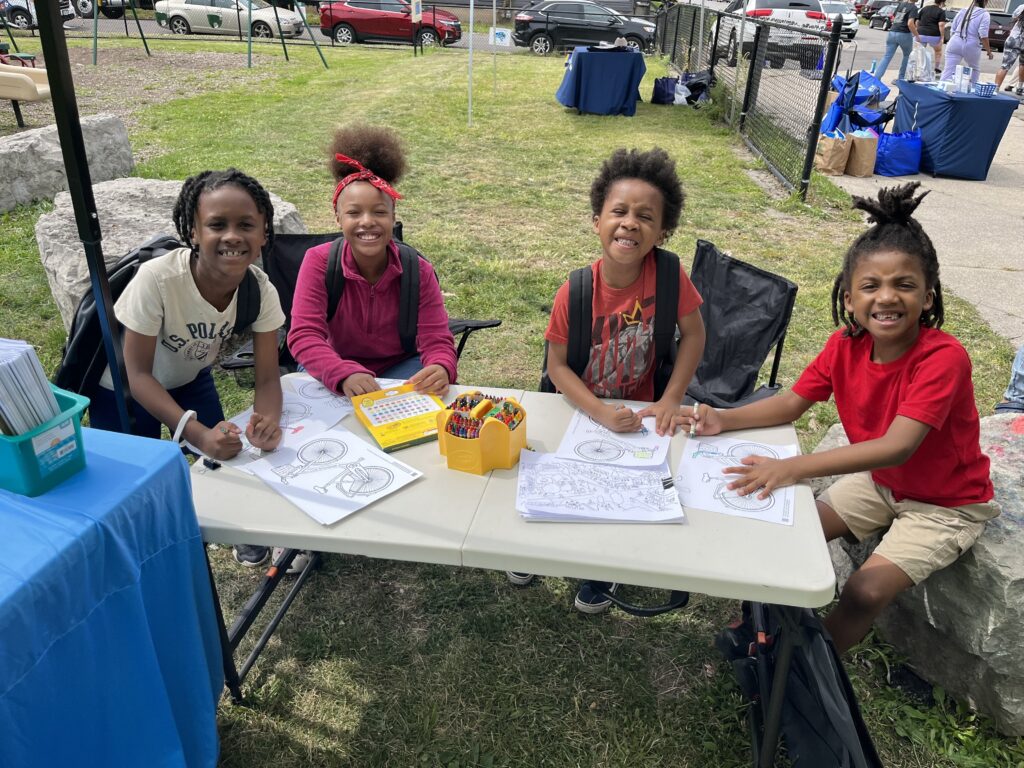
  • February 27, 2025: Kensington Avenue Complete Streets Workshop & Bike Giveaway (hosted in partnership with East Side Bike Club and Wheels for Workers 716). This event was promoted with 500 door hangers hand-delivered to homes in the neighborhood, and fliers at businesses.
  • March 31, 2025: Delavan Avenue Re-Tree Meeting, Delavan Grider Community Center (promoted to 900 homes with door hangers hand-delivered to homes in the neighborhood, fliers at businesses,  and on paid and organic social media)
    • April 10, 2025: Re-Tree Delavan Grider Logistics Meeting
  • April 12, 2025: Masten District Breakfast
    • April 18, 2025: Durham Avenue Block Club Meeting
  • April 26, 2025: Tree planting workshop, GObike Buffalo (313 Broadway)
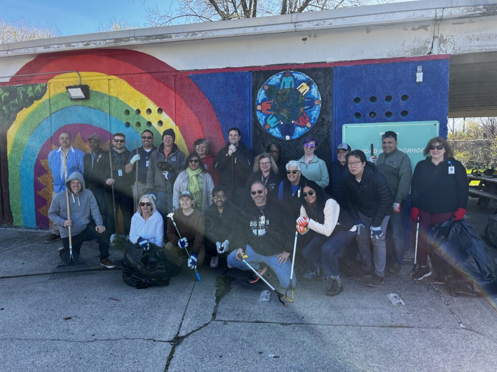
  • May 3, 2025: Plant the Parkway Tree Planting & Community Cleanup Event
  • May 7, 2025: Merriweather Branch Library Informational Tabling
  • May 21, 2025: Merriweather Branch Library Informational Tabling
  • May 22, 2025: Presentation at Board of Block Clubs Meeting, Delavan Grider Community Center
  • June 14, 2025: Juneteenth Festival
  • August 5, 2025: Norfolk Avenue National Night Out event, free bike repair, helmet decorating, & street design review

Block Clubs, Businesses, & Organizations Involved: 

  • Norfolk Avenue Block Club #1
  • Durham Avenue Block Club
  • Northland Beltline Taxpayers Association
  • Delavan Grider Community Center
  • Amsterdam Avenue Block Club
  • Florida Street Block Club
  • Delavan & Northumberland Block Club
  • Winslow Avenue Block Club
  • Moslow Brothers
  • Black Monarchy
  • Fillmore Forward
  • East Side Stewards

Resident feedback from public workshop sessions consistently highlighted speeding, lack of crosswalks, and desire for safer, more beautiful streets, directly shaping the proposed designs.

11/23/24 East Delavan Complete Streets Workshop 2/27/25 Kensington Avenue Complete Streets Workshop & Bike Giveaway
2/27/25 Kensington Avenue Complete Streets Workshop & Bike Giveaway 3/31/25 Delavan Avenue Re-Tree Meeting
5/3/24 Plant the Parkway Event 8/5/2025 Norfolk Avenue National Night Out

Additional community engagement in 2026:

  • GObike held a free 30-bike and helmet giveaway at Prince of Peace Church on Kensington Ave in April. We listened to constituent concerns and altered our project designs to leave that section of Kensington unchanged.
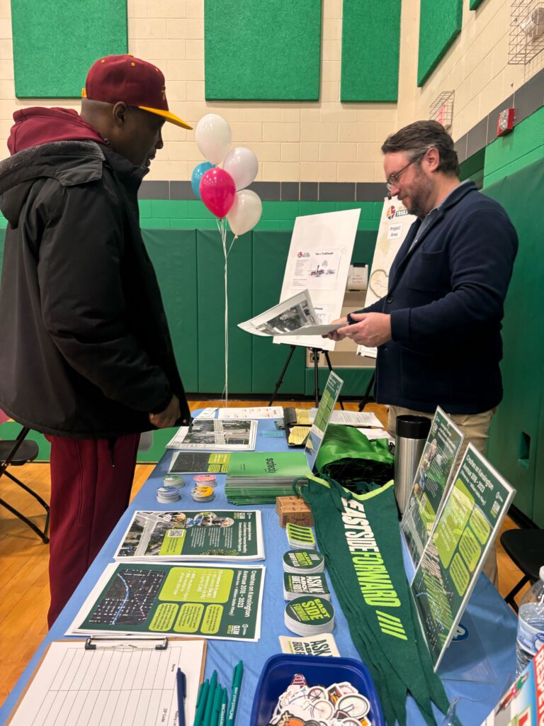
  • GObike attended the Councilmember’s district breakfast in April and put information about the project on display to everyone in attendance, explained its elements in-person, and logged feedback received.
  • GObike participated in the Norfolk Avenue Block Club #1’s neighborhood cleanup in May.
  • GObike attended Norfolk Avenue Block Club #1’s National Night Out celebration in August (included Moselle, and Wyoming Ave, and Northumberland Block Clubs, the Delavan Grider Community Center, and Grace United Church of Christ) and we were proud to receive their 2026 President’s Award in recognition of our four years of partnership.
  • GObike attended the Northland Beltline Summer Breeze party in September (including the Square Block Club).


Pre-implementation Work

GObike also conducted an extensive pre-implementation study. An inventory of existing parking utilization on E. Delavan Avenue between Fillmore Avenue and Bailey Avenue, and on Kensington Avenue between Fillmore Avenue and Bailey Avenue, was collected.


Data were collected at various times of the day and include counts from both weekdays and weekends across a variety of weather conditions. To our knowledge, counts were not conducted during periods of time where nearby special events would have impacted parking utilization. Available spaces were calculated using the following constraints:

  • No parking within 20 feet of an intersection.
  • No parking within 15 feet of a hydrant.
  • No parking within 100 feet of the approach of a bus stop.
  • No parking within 50 feet of a bus stop on a mid-block stop.
  • No parking within 100 feet of a “No Parking” or “No Standing” sign.
  • No parking in front of driveways.
  • Each parking space was calculated at 20 ft. in length.
  • Based on the inventory, Kensington Avenue has an overall average utilization rate of 6% and a peak utilization rate of 14%.
  • On E. Delavan, average utilization is 6% and peak utilization is 23%. On the north side (westbound), some parking is proposed to be removed for a bike lane.


Project Locations & Work (2025-2026)

Implementation focused on four priority areas identified through extensive community input:

Trinidad Neighborhood

  • Residential streets (Loring Ave, Shelbourne Ave, Monticello Place, Shelbourne Place) and key intersections (Kensington & Humboldt).
  • New crosswalks, placemaking elements (benches, planters), and traffic-calming treatments are intended to reduce illegal turns and shortcuts.
  • Applied interventions in 2025:
    1. Curb extensions at Monticello Place and Shelbourne Place
      • Added painted curb extensions with bollards to the four corners of the intersection
      • Added crosswalks at all four crossings
    2. Placemaking at the Kensington and Humboldt intersection
      • Added planters and bike racks to the sidewalk near the corner

Delavan-Grider Neighborhood

  • Applied Intervention in 2025
    • New Crossing at Grider Street and Litchfield Avenue
      • Narrows Grider to two vehicle travel lanes near the intersection, and adds a crosswalk across Grider to improve pedestrian accessibility between ECMC and the surrounding neighborhoods.
      • Adds curb extensions to decrease the pedestrian crossing distances.
      • Adds placemaking elements such as seating, bike racks, and planters.
    • Intersection improvements at Grider and E. Ferry Avenue
      • Narrow travel lanes on the E. Ferry approach to the intersection to more clearly define where vehicles should go.
      • Adds curb extensions to decrease pedestrian crossing distances.
      • Adds seating, bike racks, and planters for placemaking.
  • Proposed  Intervention in 2026
    • Bike lanes along E. Delavan Ave from Fillmore Ave to Bailey Ave.
      • Traditional painted bike lanes with green “conflict zone” paint at intersections
      • Preserves existing parking on the south side of E. Delavan; removes some existing parking on the north side of E. Delavan
      • New or refreshed crosswalks and parking lane striping throughout the corridor
    • Intersection of Grider and E. Delavan
      • Adds placemaking elements like bike racks and seating
    • Street tree planting throughout the neighborhood
      • Residents who are interested in a street tree for their home were given the opportunity to express interest through an online form. Several hundred homes were canvassed.

Kensington Avenue (Fillmore Ave to Comstock Ave)

  • Proposed  Intervention in 2026
    • Painting cycle track elements and connectivity improvements toward Burgard Vocational High School and the shared-use path on Bailey Ave.
    • Ensuring proper signage for parking enforcement
    • Rectangular Rapid Flashing Beacon (RRFB) near the crosswalk at the high school.

All temporary elements (bollards, rubber curbing) were designed for easy winter removal by November; durable paint remains until the City restripes or resurfaces.

Outcomes & Next Steps

The 2026 quick-build installations that would take place would represent an intentional interim phase – designed to test, measure, and refine before committing to permanent capital investment.

The temporary improvements after implementation would:

  • Increased visibility and safety for pedestrians, wheelchair users, and cyclists
  • Introduced traffic calming treatments designed to reduce speeding

Outcomes to Date

  • Successful community engagement and feedback received from the community
  • Finalized plans for Implementation from proposed interventions above

Next Steps

The next phase (after implementation) of East Side-HSI will focus on:

  • Collecting post-implementation data on vehicle speeds, traffic volumes, and pedestrian and bicycle activity
  • Putting out signs with QR codes that show the virtual changes made on the road, with the answers to why the changes were made.
  • Analyzing before-and-after performance results to determine measurable safety impacts
  • Refining corridor design recommendations based on data and continued community feedback
  • Installing Asphalt Art murals within the new pedestrian bump-outs to reinforce pedestrian space, enhance visibility, and strengthen neighborhood identity
  • Coordinating capital planning and long-term maintenance strategies with City partners
  • This disciplined evaluation phase ensures that future permanent investments are guided by measurable outcomes, community input, and long-term sustainability goals.

Please take our survey for your neighborhood

Your own experiences living and traveling through your neighborhood on foot, on transit, on bike, in a wheelchair, or in a car are what can better-inform our work. Please share them with us in the surveys below if you live in or around any of these neighborhoods. For more details on each project, please scroll down further on this page.

Entire Project Map

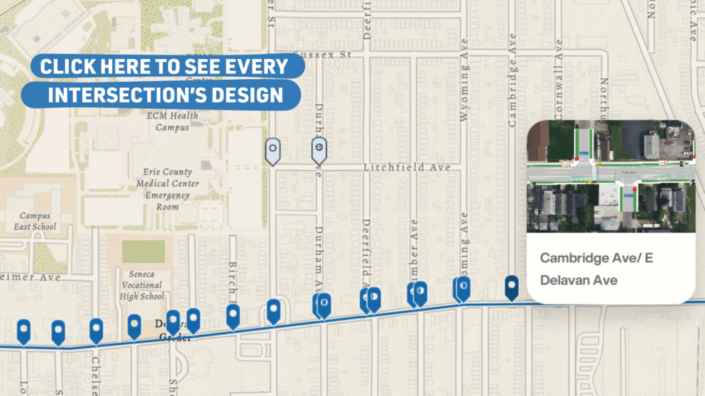
You can engage with the map below to see what temporary design changes are coming to your neighborhood:

Background

Clean Mobility Buffalo is an alliance of 10 like-missioned organizations and neighborhood leaders, working together to raise awareness of current transportation options and bring forward new environmentally friendly and health-conscious options that prioritize safety, reliability, and accessibility for all who call the East Side home. Clean Mobility Buffalo is funded by the New York State Energy Research and Development Authority (NYSERDA) under the New York Clean Transportation Prizes Program.

One of the deliverables of the East Side Healthy Streets Initiative is to implement quick-build“pop-up” installations that will calm traffic and make it easier to walk, bike, ride public transit, or use a wheelchair.


Community Engagement

Over the last three years, GObike has worked alongside the Clean Mobility Buffalo coalition and Neighborhood Leadership Group, block clubs, churches, business owners, libraries, and community centers to ask residents to share their experiences about how they move from A to B in East Side neighborhoods, and the challenges they face in getting around with or without a vehicle. GObike gathered these insights through community surveys, tabling at and hosting community events, hosting youth bike rodeos and bike giveaways, and attending block club meetings.

In addition to input from East Side residents, GObike considered other factors like vehicle crashes, vehicle speeds, and connectivity to important community amenities. Informed by that input and data analysis, several focus areas were selected for further engagement with residents and stakeholders: the Trinidad, Delavan-Grider, Michigan Avenue, and Kensington Avenue neighborhoods.

In early 2025, a series of public Complete Streets Workshops was held in those four communities. The purpose of these workshops was to educate residents about Complete Streets concepts and the prevalence of traffic violence on the East Side, and for residents to educate GObike on specific areas for potential street safety improvements, like crosswalks and bike lanes, as well as placemaking elements, like planters, benches, and bike racks.

An ongoing survey asking residents to weigh in on their experience traveling through these neighborhoods has been open since July 1, 2025. In summer 2025, adjacent neighbors received direct mail at their homes and were served geo-targeted video ads on social media, directing them to the project website, which included proposed street designs and descriptions. Those neighbors were invited to provide feedback and to take the survey. Print ads also ran in the Challenger and the Criterion newspapers, with the same information and invitation. Area businesses and community gathering places were canvassed with the project flier, and renderings of the proposed plans were also available for public review and feedback at the annual Juneteenth parade and festival at MLK Park, Norfolk Avenue #1’s National Night Out event, and at Clean Mobility’s Pedal & Play Event at the William-Emslie YMCA.

Delavan-Grider Neighborhood

Resident concerns in the Delavan-Grider neighborhood primarily focused on challenges regarding lack of pedestrian infrastructure and vehicles speeding or disobeying traffic laws along E. Delavan Avenue, while some respondents also noted a desire for bike infrastructure along E. Delavan. GObike met with leaders from six block clubs in the neighborhood in multiple workshops to discuss challenges and opportunities related to transportation, and through those conversations also identified the intersection of Grider and Litchfield as a challenge due to a lack of pedestrian crossing onto the ECMC campus.

Phase 1 Work Completed in 2024:

  1. Crosswalks added to multiple intersections along E Delavan Ave
    1. Adds curb extensions to decrease the pedestrian crossing distances, slows dangerous driver speeds at intersections

Phase 2 Work Completed in 2025:

  1. New Crossing at Grider Street and Litchfield Avenue
    1. Narrows Grider to two vehicle travel lanes near the intersection, and adds a crosswalk across Grider to improve pedestrian accessibility between ECMC and the surrounding neighborhoods.
    2. Adds curb extensions to decrease the pedestrian crossing distances, slows dangerous driver speeds at intersections
    3. Adds placemaking elements, like seating, bike racks, and planters.
  2. Intersection improvements at Grider and E. Ferry Avenue
    1. Narrows travel lanes on the E. Ferry approach to the intersection to more clearly define where vehicles should go.
    2. Adds curb extensions to decrease pedestrian crossing distances, slows dangerous driver speeds at intersections
    3. Adds seating, bike racks, and planters for placemaking.
  3. Street tree planting throughout the neighborhood
    1. Residents who are interested in a street tree for their home were given the opportunity to express interest through an online form. Several hundred homes were canvassed.

Phase 3 Work Coming Up in 2026:

  1. Bike lanes and curb extensions along E. Delavan Ave from Fillmore Ave to Bailey Ave
    1. Traditional painted bike lanes with green “conflict zone” paint at intersections
    2. Preserves existing parking on south side of E. Delavan; removes some existing parking on north side of E. Delavan
    3. Adds curb extensions to decrease the pedestrian crossing distances, slows dangerous driver speeds at intersections
    4. New or refreshed crosswalks and parking lane striping throughout the corridor
  2. Intersection of Grider and E. Delavan
    1. Adds placemaking elements like bike racks and seating

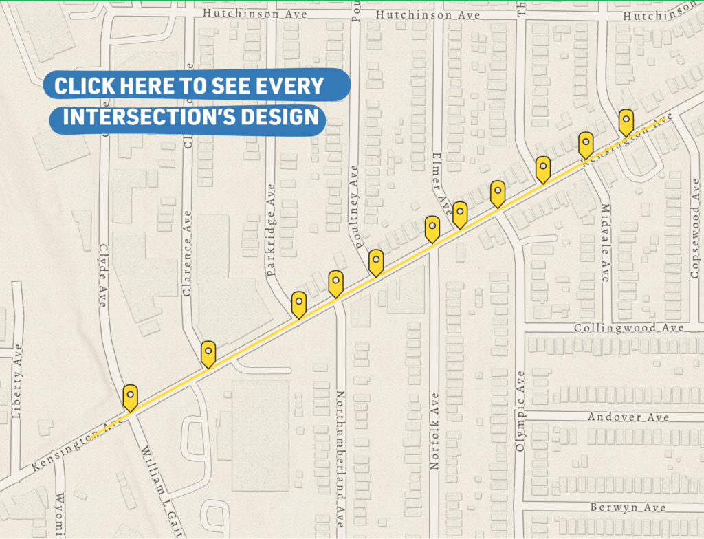
Kensington Avenue (Gaiter Pkwy to Parkridge and Comstock)

Although Kensington Avenue did not rise to the top of the list of areas of concern in the survey, the corridor arose out of conversations with other organizations familiar with the area, like East Side Bike Club, which partially operates out of a space on Kensington Avenue for storing, repairing, and distributing bikes to youth living on the East Side. This stretch of Kensington Avenue is also identified on the City of Buffalo’s Bike Master Plan as a connection between existing bike facilities. Currently, some blocks of Kensington have four vehicle travel lanes, which creates opportunities for speeding and reckless driving. The proposed road diet aims to reduce vehicle travel lanes to reduce speeding, while also providing safer connectivity for bicyclists between Comstock and Parkridge Avenues bike facilities and the shared-use pathway on William Gaiter Parkway. Additionally, East Side Bike Club collaborated with Burgard Vocational High School in 2024 to provide free bikes, helmets, and locks to youth who bike to school. Providing better bicycle amenities adjacent to the school creates a safer environment for students who bike.

Phase 1 Work Coming Up in 2026:

  1. Street diet and bike infrastructure connecting Gaiter Pkwy to the Parkridge and Comstock bicycle facilities.
    1. 2-way, protected cycle track the entire length
    2. Reduce number of travel lanes to discourage speeding and reckless driving
    3. Curb extensions and crosswalks at cross streets


Take the Kensington Avenue Survey Today (Launched 11/11/26)

Every survey response we receive goes into the final report. We give that report to the City of Buffalo and they determine what permanent changes, if any, should be applied to Kensington to improve safety for drivers, walkers, bikers, wheelchair users.

Michigan Avenue (Between E North St and E Ferry St)

This stretch of Michigan Avenue is primarily residential with several small businesses and churches dotting the corridor. In addition to the corridor’s existing assets, several new and upcoming projects continue to enhance the vibrancy of this stretch of Michigan, including the proposed Loads of Love project and the renovation of the building at 1325 Michigan and opening of a brick-and-mortar location for KT-Cuisines Caribbean Cuisines. Survey results showed that residents had concerns about a lack of crosswalks and vehicle speeds, while discussions with nearby residents and stakeholders revealed concerns about recent crashes at some of the intersections along Michigan. Interventions aim to calm traffic by defining parking and vehicle travel lanes, shorten pedestrian crossing distances, and add crosswalks throughout the corridor. Placemaking will enhance some of the commercial intersections along the corridor.

Phase 1 Work Completed in 2025:

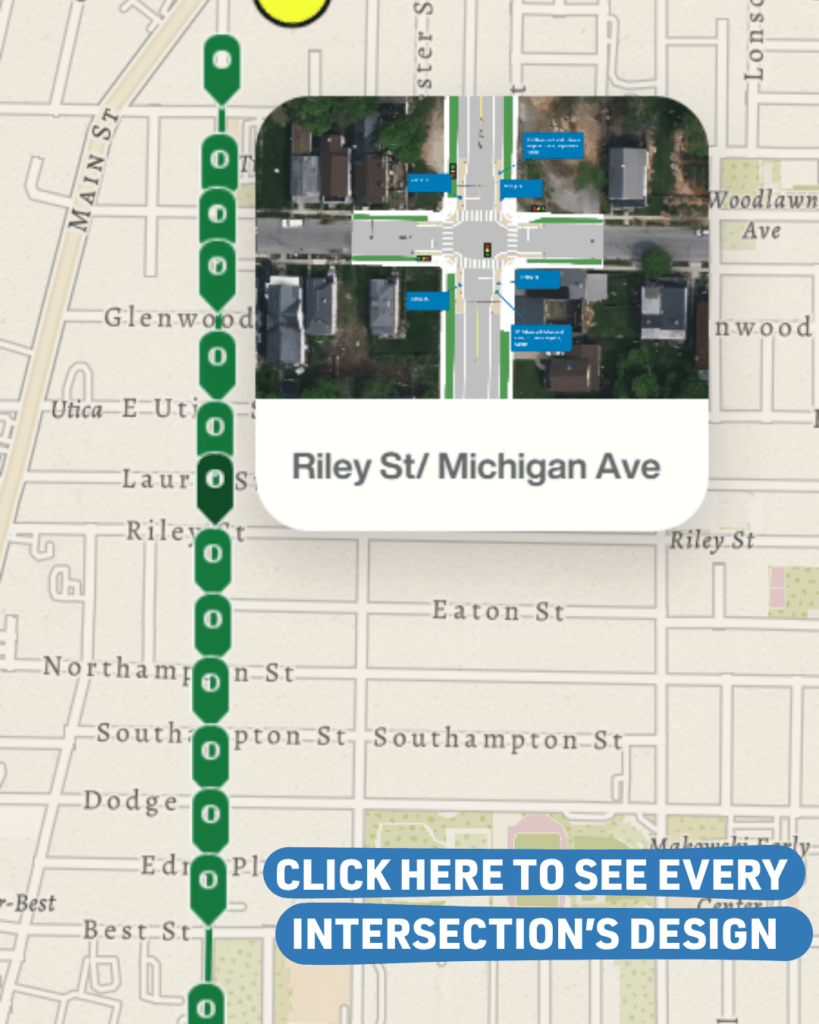
  1. Striping lanes from North Street to E. Ferry Street
    1. Adds a center line and lines defining parking on both sides of Michigan
  2. Curb extensions at intersections
    1. Adds curb extensions on the Michigan Avenue portion of intersections to lessen turning radii and reduce pedestrian crossing distances
  3. Intersection redesign at E North Street
    1. Removal of dangerous slip lane for northbound right-turning drivers to create protected space for people walking across the dangerously wide intersection

Phase 2 Work Coming Up in 2026:

  1. Placemaking at selected intersections
    1. Asphalt Art at the corners of Riley, Laurel, and Best. Bollards will remain at E North Street and be reintroduced at Best Street in order to dramatically improve safety for children and adults walking through each corridor. Bollards may be reintroduced at Riley and Laurel to contribute to place-making efforts to foster new businesses opening on those blocks, and complement and protect the asphalt art.
      Bollards at all other intersections between E Ferry and Edna will not be reintroduced.

What's happening on these East Side corridors?

The effective lane widths now indicate the safest travel path for vehicles utilizing the design to reduce vehicle speed. This is important because as vehicle speeds increase, the risk of serious injury or fatality for a pedestrian also increases (AARP Impact Speed and a Pedestrian’s Risk of Severe Injury or Death).

The project uses temporary products consisting of paint and bollards to reorient the roadway and intersections inexpensively. As part of the public engagement process, it will allow people to experience the new design in real time and collect pre- and post-data to determine how it functions for all roadway users, informing the city’s process before a long-term capital investment is made. It is scheduled to be in place for approximately one year.

This demonstration project satisfies the Americans with Disabilities Act (ADA) requirements in the public right-of-way (ROW) while providing safer, protected facilities for pedestrians, improving vehicle safety, and complying with the City of Buffalo’s Complete Streets policy.

It continues to be the city’s responsibility to clear snow from the street; this function remains unchanged. The GObike Implementation team will schedule a regular review. It will repair downed or damaged K-71 bollards as necessary, including reaffixing bollards that have been displaced, replacing damaged or missing bollards, and removal of individual specific bollards should the City of Buffalo deem it essential.

GObike Implementation team will respond to City requests for bollard adjustment or removal in a timely manner.

Yes. Every aspect of this pilot project was designed to federal to MUTDC standards by a licensed traffic engineer. All designs were submitted to the City of Buffalo’s engineering department for review and were issued a permit. The K-79 Bollards are meant to slow traffic as it turns, providing greater visibility for people walking across an intersection. These lane widths do not impede emergency vehicles.

The ratio of speeding vehicles, the maximum recorded speed, the 85th percentile speed, the change in bicycle and pedestrian activity will be the primary quantitative data evaluated. Public survey responses will be recorded for qualitative assessment.

As a walkability and bikeability project, these roads and intersections were widely recognized as unsafe for people and included sidewalk facilities that are not in compliance with ADA requirements.

Visit the crash map we’ve been compiling data for since 2018 to view the safety statistics in your neighborhood.

For instance, on Michigan Ave between 2018 and 2024, there were 172 crashes on this corridor, and 5.8% of which involved a pedestrian or cyclist. Furthermore, 51.74% of those 172 crashed resulted in property damage, while 47% resulted in injury, and one person was killed. Prior to design, GObike Buffalo conducted traffic counts for all travel modes and speed studies to determine baseline measures.

Over the last four years, GObike has worked with the Clean Mobility Buffalo coalition and Neighborhood Leadership Group, block clubs, churches, and community centers to ask residents to share their experiences about how they move from A to B in East Side neighborhoods, and the challenges they face in getting around. GObike gathered these insights through community surveys, tabling at community events, hosting youth bike rodeos and bike giveaways, and attending block club meetings.

In addition to input from East Side residents, GObike considered other factors like vehicle crashes, vehicle speeds, and connectivity to important community amenities. Informed by that input and data analysis, several focus areas were selected for further engagement with residents and stakeholders, including Michigan Avenue, Kensington Avenue, East Delavan Avenue, and Grider Street residents, churches, community centers, and business owners.

In early 2025, a series of public Complete Streets Workshops were held in focus areas to discuss the concept of complete streets and to identify specific areas for improvement and potential street improvements, including a public meeting for Michigan Avenue on February 6, 2025, hosted at the nearby Collier Community Center on E. Utica. The meeting was promoted directly to residents on all streets adjacent to the project corridor through canvassing with door hangers, and was further promoted through targeted virtual media ads intended for users within 1 mile radius of Michigan Avenue.

In early 2026, GObike participated in Common Councilmembers Everhart’s and Halton-Pope’s district community stakeholder breakfasts to provide additional information about upcoming plans to temporarily redesign the roadways to calm traffic.

A survey asking residents to weigh in on their experience traveling Michigan Avenue was open from July 1 to October 12, 2025.  Everyone living in the adjacent neighborhoods received direct mail to their home, directing them to the project website containing proposed street designs and descriptions, and inviting them to provide feedback and to take the survey.  Print ads also ran in the Challenger and the Criterion, inviting people to take the survey. Area businesses and Community gathering places were also canvassed with the project flier, and renderings of the proposed plans were also available for public review and feedback at both the annual Juneteenth parade and festival at MLK Park, and at Clean Mobility’s Pedal & Play Event at the William Street YMCA.

Since the issuance of GObike’s permits in September 2025, project information pole signs have been installed on project area streets in multiple languages, inviting people to view the proposed plans, take the survey, and provide feedback. Prior to fall project installation, GObike also led a full-length neighborhood cleanup of Michigan Avenue, performed outreach to local businesses, and provided planters, bike racks, benches, and garbage cans to businesses and churches who responded, including K.T. Caribbean Restaurant at Michigan and Riley, St. James House of Prayer at Michigan and Southampton, and Dipped & Designed by Mallory at Glenwood and Michigan. GObike also provided new planters to the Michigan Avenue African American Heritage Corridor HQ on Michigan Avenue as part of this project, to help build awareness of the project.

Trinidad Neighborhood

Residents of the Trinidad Neighborhood shared concerns about vehicle traffic cutting through the residential streets as a shortcut from the Humboldt Parkway to Kensington Avenue. Residents shared that drivers often make illegal turns onto Loring Avenue from Humboldt, to use Shelbourne Avenue to get to Kensington Avenue. Drivers also tend to ignore stop signs or speed through neighborhood intersections. The block club noted that there’s only one crosswalk across Kensington between the neighborhood and Sister’s Hospital, but that it would be beneficial to have another safe crossing closer to the center of the neighborhood. Lastly, residents recognize that the corner store at Kensington and Humboldt is a neighborhood resource, not just for residents, but for employees and visitors at Sister’s Hospital. However, there are no streetscape amenities nearby like seating and bike parking.

Phase 1 Work Completed in 2025:

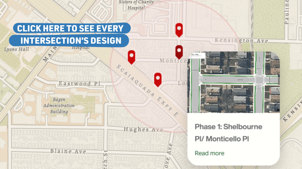
  1. Curb extensions at Monticello Place and Shelbourne Place
    1. Adds painted curb extensions with bollards to the four corners of the intersection
    2. Adds crosswalks at all four crossings
  2. Placemaking at Kensington and Humboldt intersection
    1. Adds planters, and bike racks to the sidewalk near the corner

You've got Questions, We've got answers

Objects like bollards and rubber curbing are designed to be easily removed for the winter season. As a condition of permitting, the City of Buffalo requires that temporarily fixed elements be removed by November 15th to allow for snow removal during the winter months

Although it is definitely true that more people in the City of Buffalo drive than ride bikes for transportation, there are still about 2,500 bike trips each day on the East Side, on average, according to 2022 data from Streetlight Insights. Bike lanes provide clear, separated space for bicyclists to encourage people on bikes to ride legally and safely according to the rules of the road. They also keep bikes and cars separate, so there is less conflict between drivers and bicyclists, moving both more efficiently. In places with wide vehicle travel lanes and no lane markings, bike lanes can also help define where drivers are supposed to drive, reducing confusion and dangerous speeding.

Quick-build projects like these are meant to help demonstrate new concepts while making low-cost, immediate safety improvements to neighborhoods and roadways. Ultimately, the insights learned from implementing these projects can lead to better decision making around street infrastructure investments in the future. Elements like paint can stay in place until the road is restriped or resurfaced, while elements like street furniture can stay in place indefinitely. However, none of these projects makes “permanent” changes to the street in the sense that they do not involve removing existing infrastructure and adding new “hard” infrastructure like concrete or asphalt. A benefit of the quick-build nature of these projects is that they can be adjusted on-the-fly after they’re installed if an element of the design isn’t working as intended.

We recognize that some folks may not like elements of these projects. GObike has aimed to ensure these projects are a reflection of the needs and desires of community residents. After the projects are installed, we will conduct another community survey to learn insights about what residents like or dislike about the projects. Immediate concerns about the project can be submitted directly to GObike using the contact us form. Please remember that changes to the roadway are temporary.

Let us know! Similarly to those who dislike the project, we’d encourage you to share your thoughts and experiences in the survey that will be shared after the project is installed. If you feel really strongly about the project in a positive way, feel free to reach out to us directly using our contact us form.

Typically, traffic calming projects slow vehicle speeds, on average, meaning they make it more difficult for drivers to far exceed the posted speed limit. However, more consistent vehicle speeds that align with the posted speed limit and more clearly marked out travel lanes can have the effect of actually making traffic flow more smoothly. Plus, safer streets means fewer crashes, meaning less delays and backups.

Yes, all designs have been drawn and laid out by GObike’s own licensed engineer with over 35 years of experience. All projects have been reviewed and permitted by the City of Buffalo Department of Public Works. Designs are based on guidelines in the US Department of Transportation’s Manual of Uniform Traffic Control Devices and the National Association of City Transportation Officials Urban Street Design Guide.

Any time a street is reconfigured, traffic typically takes a few weeks to adjust to new traffic patterns. When the projects are initially installed, you may notice more traffic for the first few days, then a gradual adjustment back to normal over the next few weeks.

Project Timeline

Community Engagement & Programming:Fall 2023 – Spring 2026

Preliminary Design & Public ReviewFall 2024 – Summer 2025

Pre-Implementation Traffic Data CollectionFall 2024 – Spring 2026

Implementation on Michigan, Grider, TrinidadFall 2025

Implementation on Michigan, Kensington, Delavan
Fall 2026

Post-Implementation Traffic Data CollectionFall 2026

Learn more about the physical elements of complete streets:

Bike Lane/Cycle Track: A portion of the roadway that has been designated by striping, signage, and pavement markings for the preferential or exclusive use of bicyclists. Bike lanes enable bicyclists to ride at their preferred speed without interference from prevailing traffic conditions and facilitate predictable behavior and movements between bicyclists and motorists. (More information)

A cycle track places all bike activity on one side of the roadway and provides two-way travel for bikes that are physically separated from vehicles. (More Information)

Sidewalk Extension: Provides additional pedestrian space at street corners by extending sidewalk space into the roadway, thus narrowing driving lanes and creating a shorter distance for pedestrians to cross the roadway safely. (More Information)

Crosswalk & Pedestrian Island: Using white paint to demonstrate the path pedestrians should take when crossing the road, crosswalks should be designed to offer as much comfort and protection to pedestrians as possible, while helping to facilitate eye contact by moving pedestrians directly into the driver’s field of vision. (More information)

To supplement crosswalks, a space can be installed partway through the crosswalk using rubber curb barriers and bollards to create additional protection for pedestrians as they cross, called pedestrian islands.