Southern Tier Trail: Design and Engineering

Overview

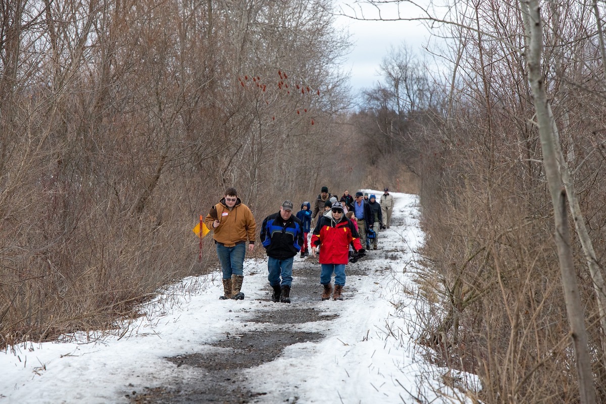
GObike, with Alta Planning & Design, finalized a feasibility study for constructing an 80-mile multi-use trail in and adjacent to the Buffalo-Pittsburgh rail corridor between the City of Buffalo and the Town of Hinsdale.


Connecting Buffalo to Hinsdale via Rail Corridor

The project is supported by funding from the Ralph C. Wilson, Jr. Foundation and the Ralph C. Wilson, Jr. Legacy Funds administered by the Community Foundation for Greater Buffalo.

The route crosses through Salamanca and the Seneca Nation of Indians, the Cattaraugus Mountains, and the scenic 1890 Cascade bridge that connects both counties.

The proposed multi-use trail would connect 20 Western New York towns and villages, and link to 750-mile Empire State Trail and 90-mile Genesee Valley Greenway Trail.

View the Final Plan Here

Key findings from the study include:

  • An 80.1-mile route has been identified and categorized into 23 projects, including nine high-priority projects selected to connect major population centers and extend or enhance existing trails;
  • The trail will extend from Ridge Road in Lackawanna to the Genesee Valley Greenway trail in Hinsdale, NY, and have 24 trailheads and access points;
  • If preferred routes are implemented, 94% of the route (74-miles) will be off-road;
  • Equestrian and snowmobile access will be maintained in the southern portion of the trail; and
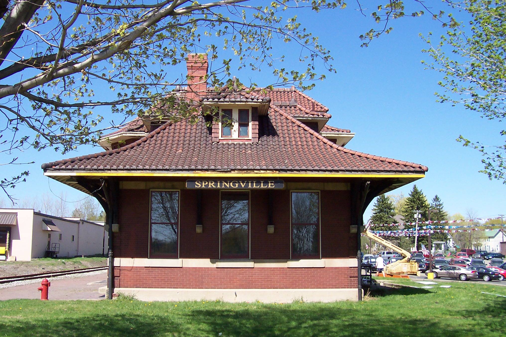
  • Stabilizing the Cascade Bridge, an elevated trestle bridge in Springville, NY, will provide a signature destination for the trail.

View the executive summary.

View photo renderings of key projects.


Trail Benefits

Connectivity

The trail will connect Western New Yorkers and visitors to the natural, historic, and cultural splendor of the Western New York region. The proposed Southern Tier Trail would connect our region to the statewide 750-mile Empire State Trail, which links New York City to Canada and Buffalo to Albany, and the 90-mile Genesee Valley Greenway, connecting Cuba to Rochester.

Economy

The positive economic impacts of trails include recreation-based tourism, an increase in property values, an enhanced ability to attract new employers and employees, and the development of new industries, such as visitor services, to accommodate the increase in recreational opportunities in the area.

Health and Well-Being

A 2012 health impact assessment of the towns adjacent the Southern Tier Trail determined residents would benefit from an increase in physical activity due to trail construction. Physical activity improves mental health and lowers the risk of heart disease, diabetes, obesity and various cancers. Studies show that every $1 invested in recreation trails yields $3 in direct medical benefit.

Environment

Multi-use trails protect open space and provide corridors for wildlife. They create linear green space, thus preserving needed links between fragmented habitats and increasing available connected green space for many species.

Transportation

Trails provide transportation alternatives to those who choose not to drive or those who do not have access to a car. Completion of the Southern Tier Trail will increase local mobility options and provide accessibility to nearby parks, playgrounds, and sports fields, increasing access to additional recreational opportunities in neighborhoods along the trail corridor.

Safety

Off-road trails provide safe recreational opportunities for a variety of users. They provide a designated space for bicyclists, pedestrians, joggers, and others.

Education

Did you know the Buffalo-Pittsburgh rail line  was built to transport coal between upstate New York and Pennsylvania in the late 1800s? Trails provide the opportunity for trail users to discover local history, ecology, and natural heritage.

Southern Tier Trail

The multi-use trail will follow the Buffalo-Pittsburgh rail corridor to the greatest extent possible picking up from the Empire State Trail in the City of Buffalo through towns and villages within Erie County through Cattaraugus County to connect to the Genesee Valley Greenway in Cuba. The route crosses through Salamanca and the Seneca Nation of Indians, the Cattaraugus Mountains, and the scenic  1890 Cascade bridge that connects both counties. Sections of the rail corridor able to be used for the multi-use trail are currently under study.

Project Timeline

History

The following history of the rail corridor and development of the trail is adapted from a presentation developed by members of the Erie Cattaraugus Rail Trail, Inc. (https://www.ecattrail.org/presentation).

1869 Railway incorporated as Rochester & State Line Railroad

1887 Railroad renamed Buffalo, Rochester &Pittsburgh (BR&P) Railway

1912 Orchard Park Depot opened

1932 BR&P Railway purchased by the Baltimore & Ohio Railroad

1955 Passenger train service ends on the line

1966 Last freight train runs on line

2008 ECRT was formed to support NYS parks in their quest to purchase the former Buffalo Pittsburgh Railroad corridor

2012 NY State Parks turned over direct negotiations with the railroad to ECRT

2018 A long term rail-banking lease between ECRT, Inc. and B&PRR was finalized with the purpose to build and maintain a multi-use recreational trail along the full 27-mile former rail corridor

2019 Thanks to funding from the Ralph C. Wilson, Jr Foundation, GObike hired Alta Planning & Design to conduct a feasibility study to assess converting the 80-mile rail right-of-way to a multi-use trail

2020 GObike and Alta Planning & Design formed a steering committee with the two counties, 11 towns, three villages, and associated stakeholders to guide the feasibility study

Stay Informed

Here are some responses to frequently asked questions on rail-to-trail projects. Have a different question? Get in touch with us!

Learn More

Bookmark this site, join our mailing list and follow us on social media for regular project updates. Submit a comment or question to Ashley Smith, project manager, at ashley-at-gobikebuffalo.org.

Communication and outreach regarding the planning process will include:

  • Posting regular updates to this website.
  • Sending regular email updates.
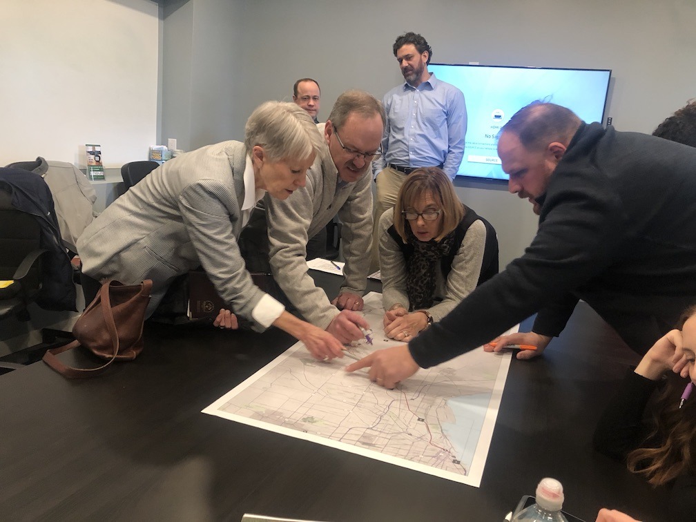
  • Hosting a series of public meetings during the planning process and attending local events and community gatherings in the project area throughout the next six months. We’ll post event details to this website and our social media.
  • Presenting information about the project at local forums and community meetings on request.

Our project team is happy to respond to questions from adjacent landowners. The best way for property owners to contact us is by emailing ashley-at-gobikebuffalo.org.

The project team is also available to meet on-site with adjacent landowners where appropriate to share information and discuss landowner issues (adjacent landowners should include their contact information when submitting comments on the website). Please view the proposed trail route to determine if you are an adjacent landowner.

Many studies have found that multi-use trails are an amenity that increases property values and improves the quality of life for nearby residents. For a sample of studies, please see our trail benefits section.

Rules will be posted informing trail users to stay on the trail and not enter the adjacent property. Trail design features, such as allowing vegetation to grow, establishing a natural boundary, and installing signage or fencing in specific locations where warranted, will reinforce trail behavior. New York State, like most states, has a Recreational Use Statute (General Obligation Law Section 9-103) that protects property owners from liability from hikers, bicyclists, and other trail activities on private property. The general experience of rail-trails across New York State is that users stay on the trails and respect adjacent private property.

Addressing concerns of adjacent landowners is a critical component of this planning process.

Based on experiences on other rail-trails, there typically are not significant problems with people leaving the trail and entering private property. Trail users understand that adjacent land is private property and should not to be entered without permission. 

Measures currently in consideration include reinforcement of the requirement that users respect private property, including posting rules at trailheads emphasizing no trespassing. In special circumstances, the Southern Tier Trail project team is considering the installation of additional screening, fencing, or vegetative plantings. If you are an adjacent property owner with concerns about proximity to the proposed facility, trespassing, or other safety concerns, please contact Ashley-at-gobikebuffalo.org.

We’re not sure yet. Typically, walkers, bicyclists, joggers, in-line skaters, cross-country skiers, dog walkers, bird watchers, parents with baby strollers, and people in wheelchairs generally use multi-use trails. In some places, equestrians and snowmobilers enjoy the trails. In trails along rivers or lakes, anglers and boaters will be present. Decisions about trail use will be reached through our public outreach process. If you have a comment or concern regarding a specific trail use, please let GObike know by adding a comment to our public input map, linked above


Trailheads, access points, parking, and other amenity locations are still to be determined. Draft plans will include recommendations on access points, amenities, and parking. 

If you have locations in-mind that would make good access points, or conversely, that would not make good access points, GObike and Alta ask that you share those locations with our project team for review through the public input map, link above.


Municipal responsibilities will be defined through the feasibility study currently underway. For multi-use or rail-trails across the nation, regular maintenance needs are modest. As the trail crosses through more than 20 towns and villages, the impact on any single municipality will be minimal. In addition, the feasibility study will include an assessment of potential partners in trail management and maintenance, including nonprofit and user-group organizations.

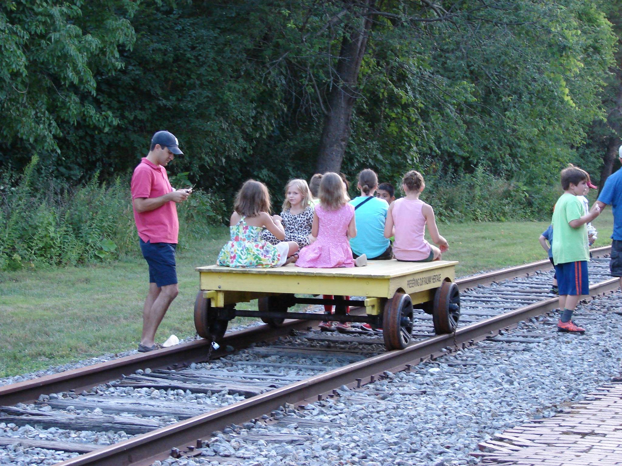
ECRT has been named Trail Manager by the Surface Transportation Board for a railbanked 27-mile portion of the Buffalo Pittsburgh Rail Corridor extending from Orchard Park south through the Village of Springville.

GObike has received a grant from Ralph C. Wilson, Jr. Foundation to complete a feasibility study for the Southern Tier Trail. The Southern Tier Trail is a proposed 80-mile trail connection between Buffalo and Hinsdale, which may incorporate all or parts of the Buffalo Pittsburgh Rail Corridor under lease by ECRT.

ECRT and GObike are separate legal entities.

Alta Planning + Design has been hired by GObike to complete the feasibility study. Alta is a nationally recognized planning firm with extensive experience in New York State, including work on the Empire State Trail, Genesee Valley Greenway, and more.

The Buffalo & Pittsburgh Railroad owns the railbanked property under ECRT’s management. It is a federally-regulated transportation corridor that has been approved for use as a multi-use trail to preserve the integrity of the rail corridor.

The feasibility study will outline the design and construction of a shared-use pathway between the City of Buffalo and the southern end of the Genesee Valley Greenway in Hinsdale, NY. The study includes public outreach to gain community input on trail route alternatives, trail uses, and preferred design features. The final report will also include construction cost estimates for the selected route along with maintenance and management recommendations.

Project Partners