Background
The Cheektowaga Trail Feasibility Study is a project that includes a multifactorial analysis of three sections of trail located in Buffalo. The trail segments, initially scoped out in the Greater Buffalo Niagara Regional Transportation Council (GBNRTC)’s Regional Bike Buffalo Niagara Master Plan (2020), include the Scajaquada Creek Extension to Cheektowaga, Clarence Pathway Buffalo Extension, and the Lancaster Heritage Trail West Extension.
Scajaquada Creek Extension to Cheektowaga
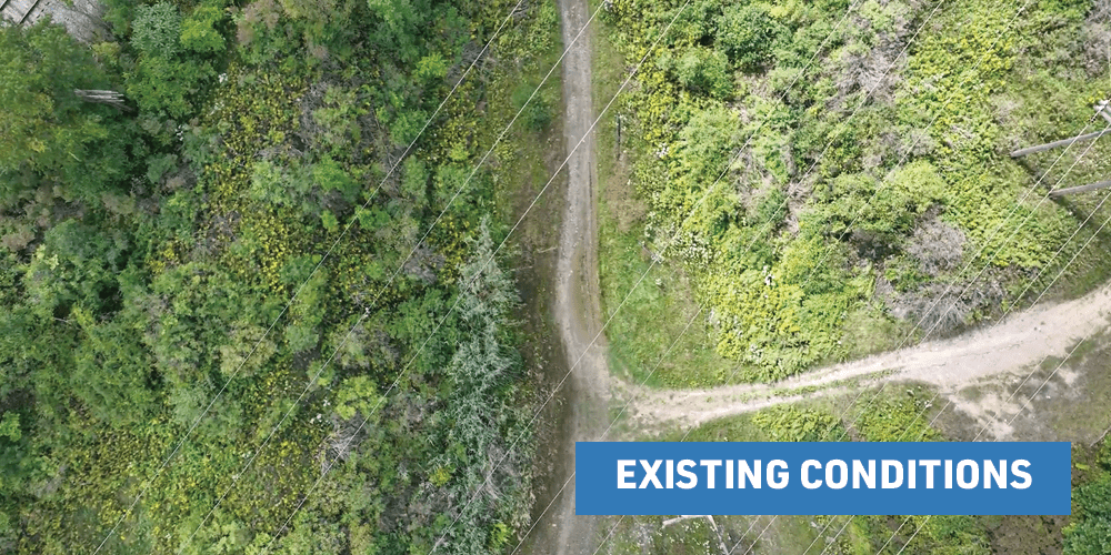
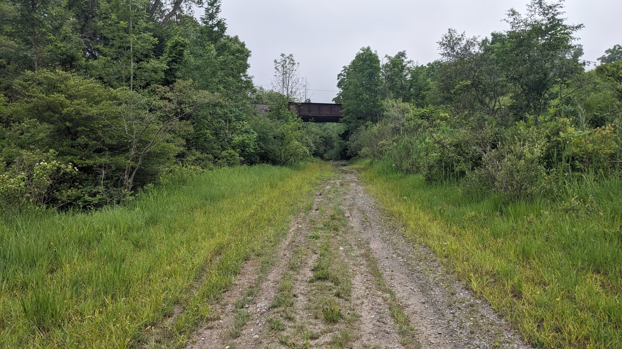
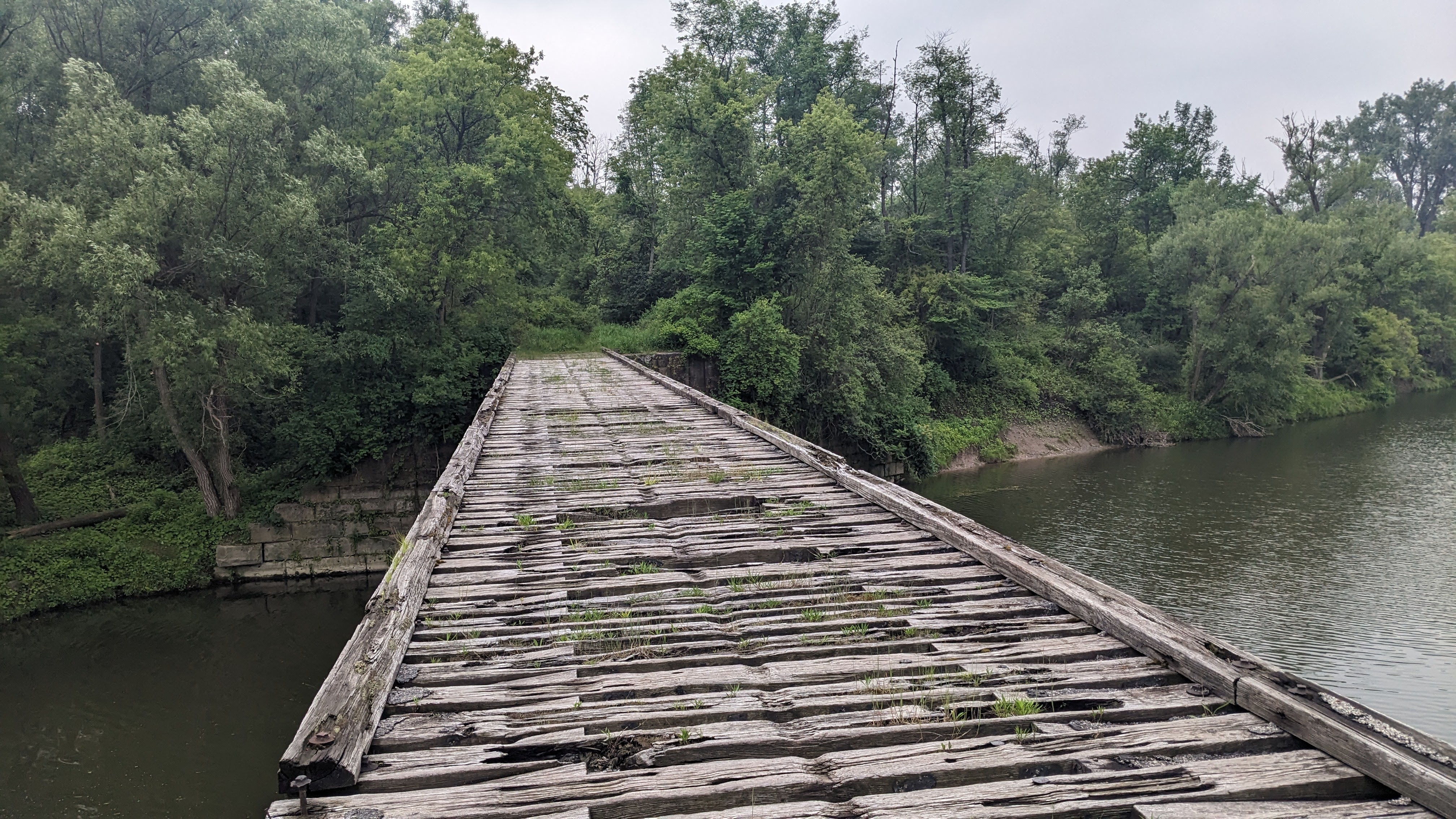
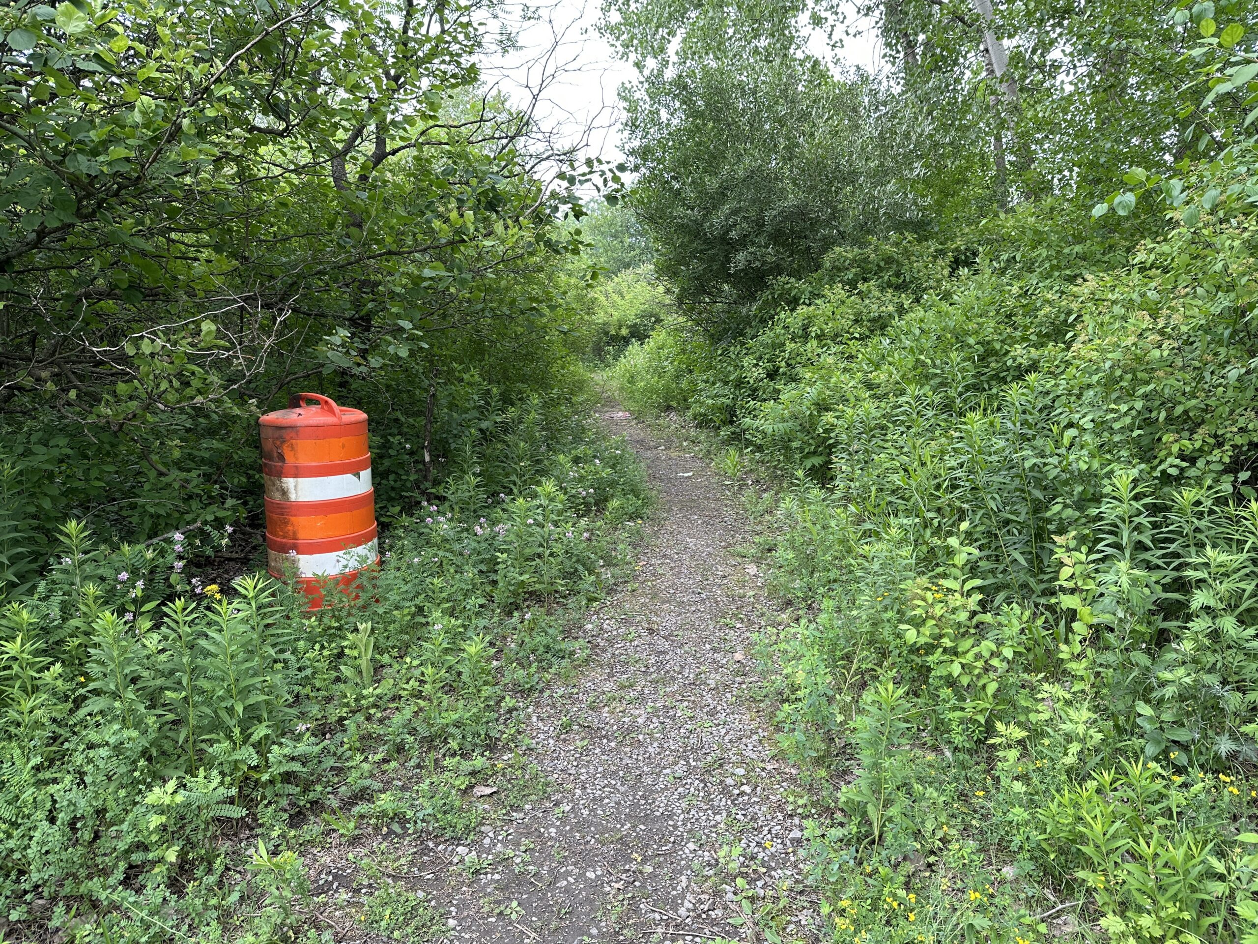
This corridor is a 2.5 mile off-road trail that will provide a connection between West Delavan Street/Main Street and the Clarence Pathway Buffalo Extension Corridor near Galleria Drive. The proposal may include on-road and off-road improvements that would utilize existing paths. Once the currently proposed East Side Trail/Northeast Greenway is complete, this will also create a connection between Canisius College and Buffalo.
Clarence Pathway Buffalo Extension
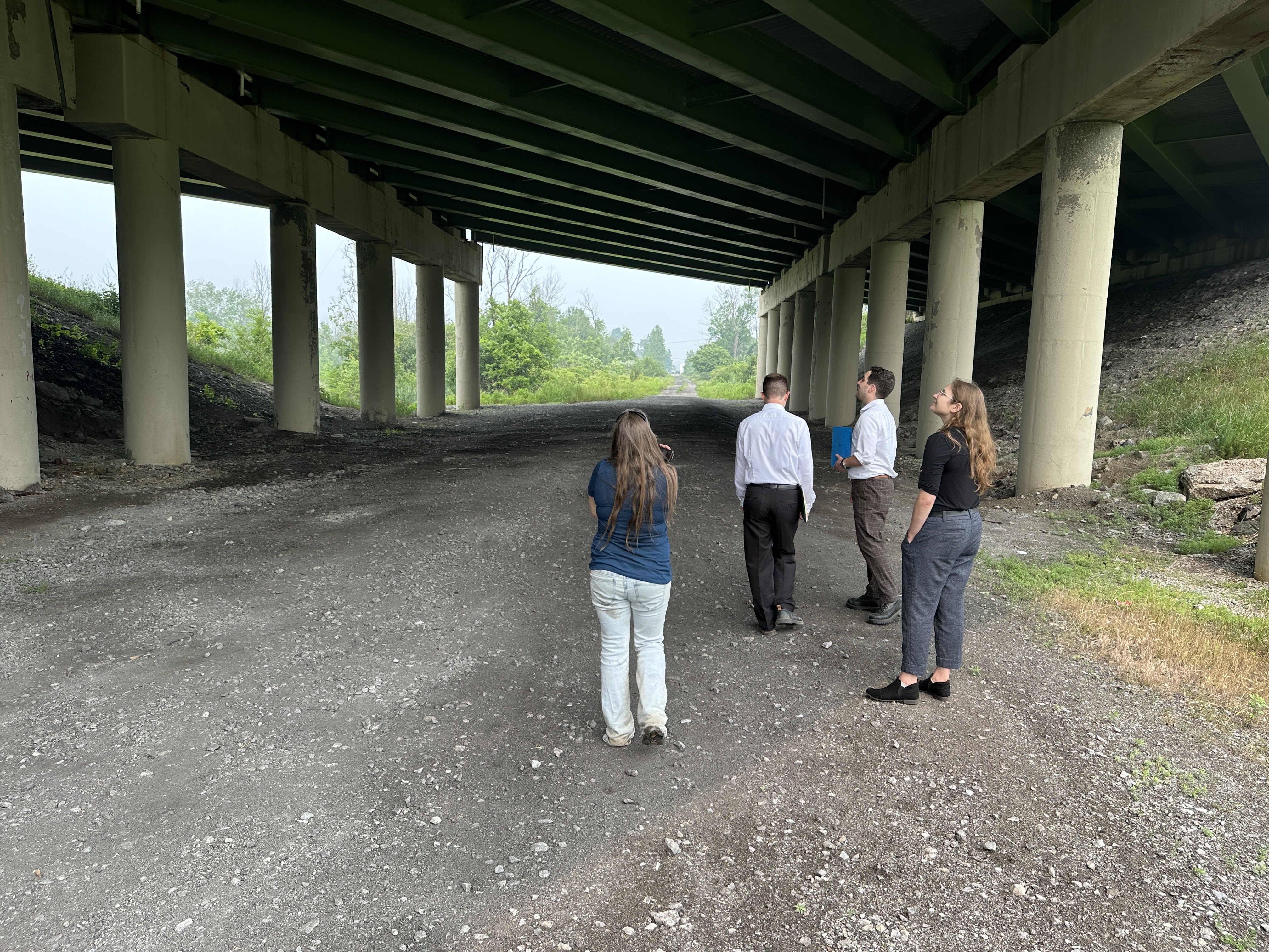
At nearly 8 miles, this corridor is the longest segment in the Feasibility Study, spanning from Bailey Avenue in Buffalo to Harris Hill Road in Lancaster. Proposals for this corridor include on-road enhancements along Harris Hill Road and Wehrle Drive and off road facilities for cyclists and pedestrians.
Lancaster Heritage Trail West Extension
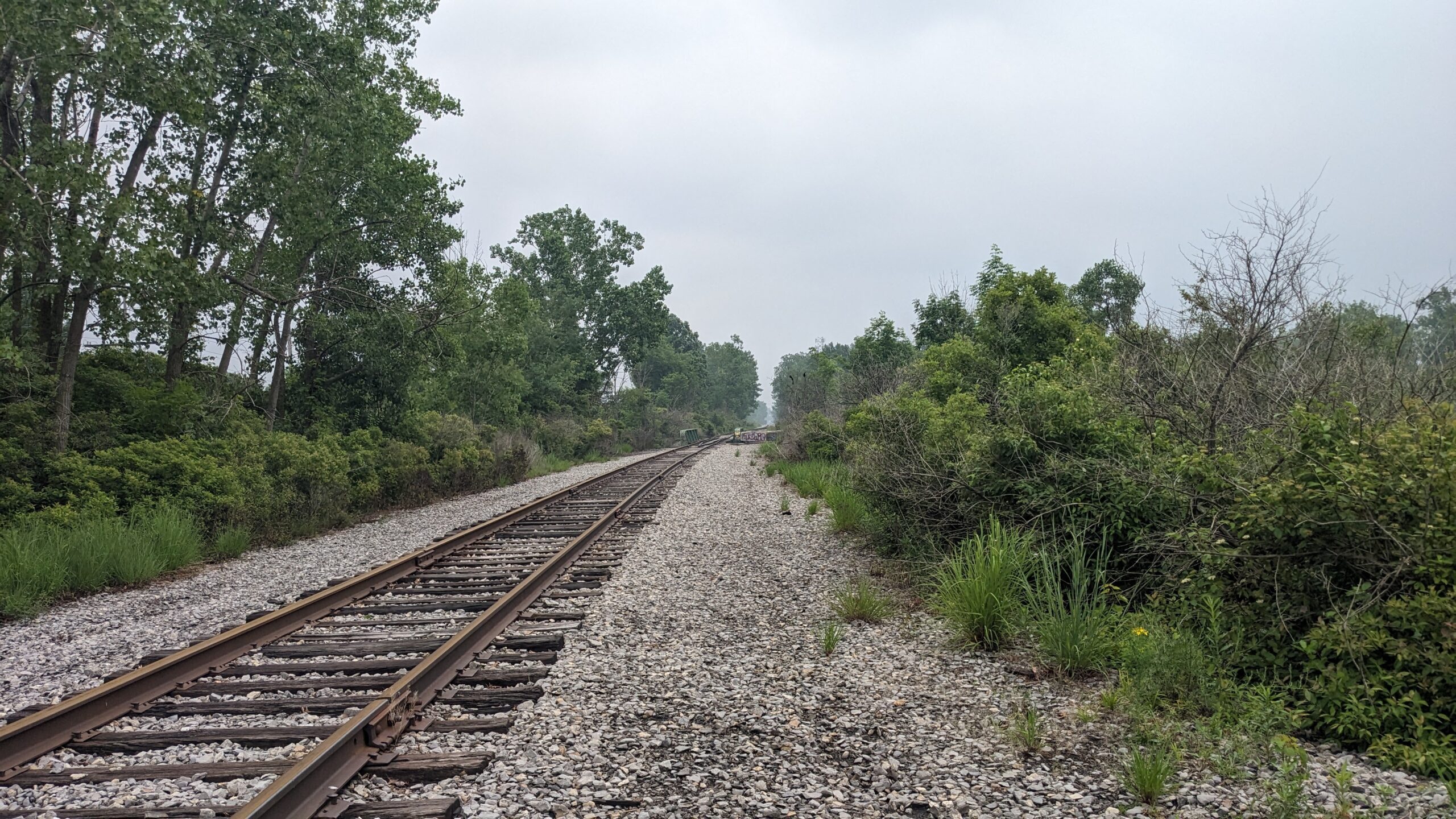
This corridor is a 5.1 mile segment that would connect the existing Lehigh Valley Railroad Rail Trail to the Lancaster Heritage Trail via off-road facilities. Please visit the Lancaster Heritage Trail West Extension project page to learn more about this specific trail project.
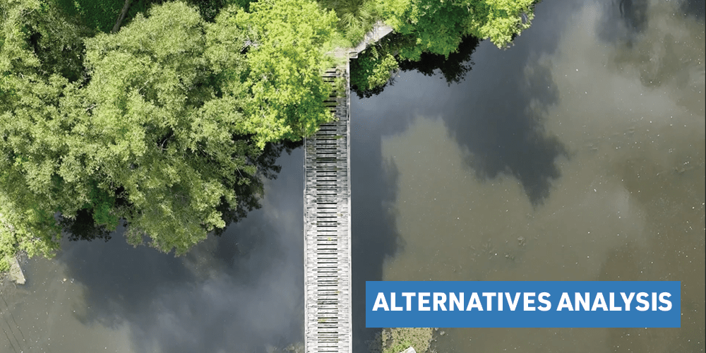
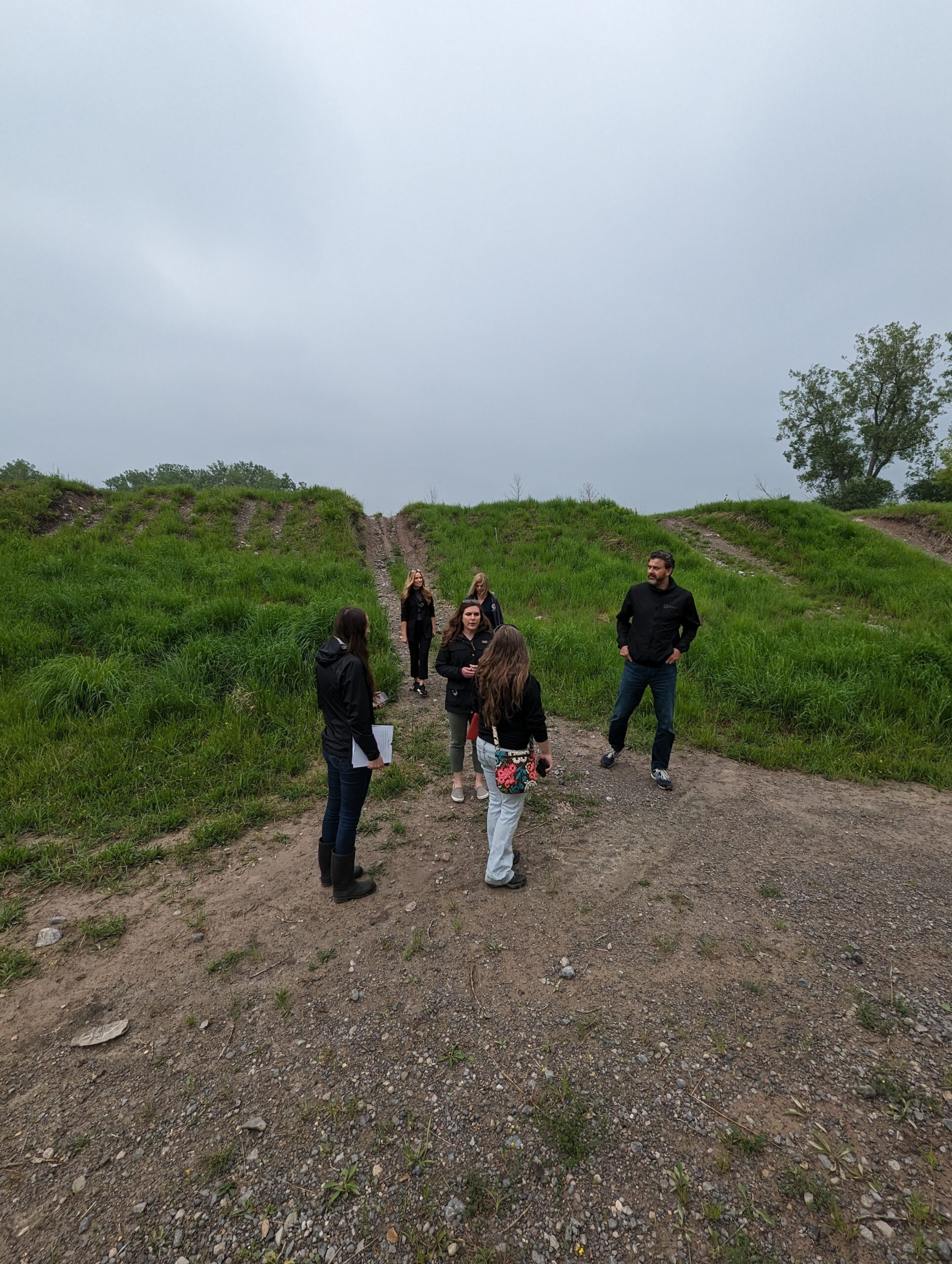
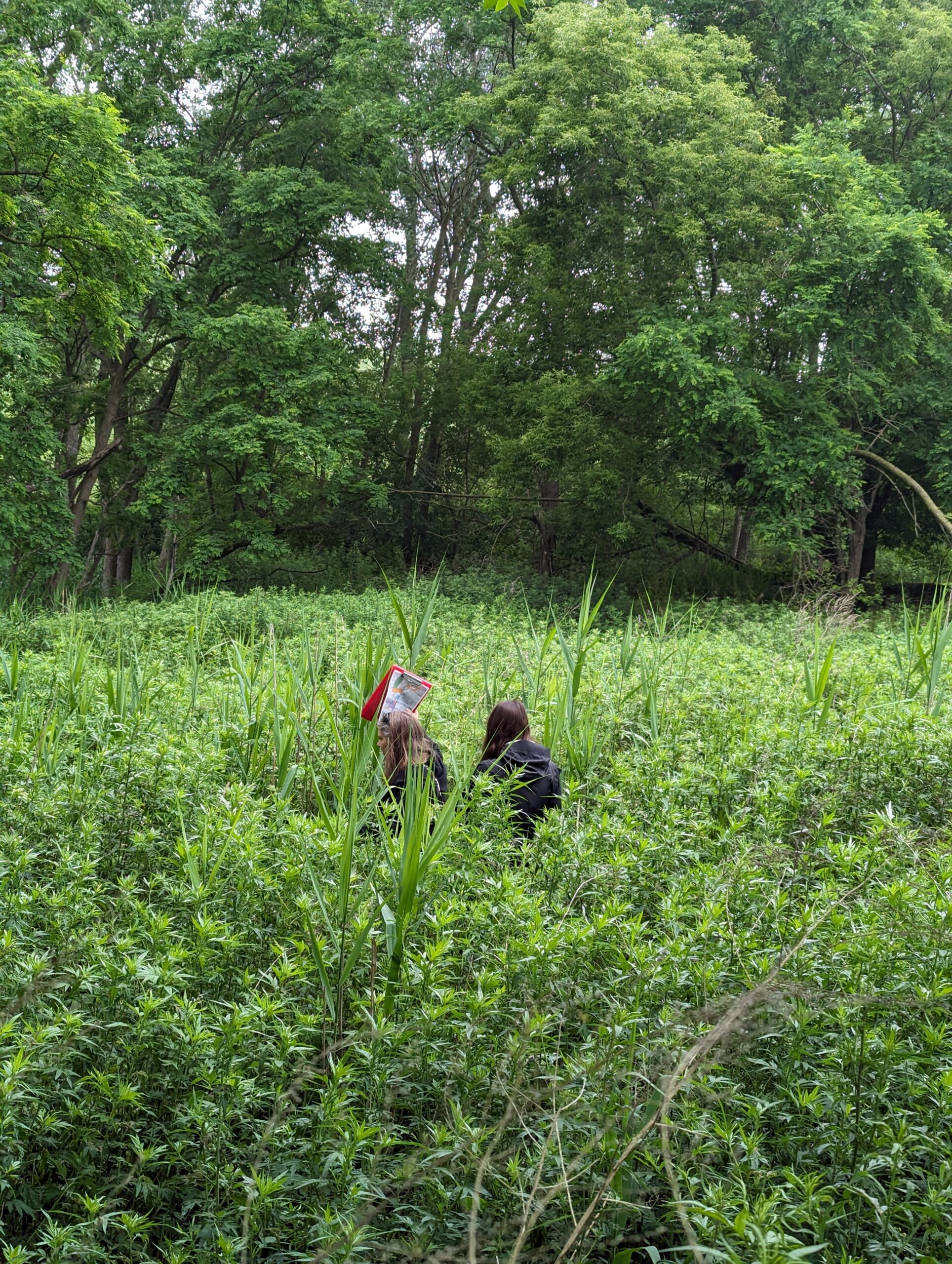
These three trails, which have been identified as proposed trail options among the top 15 off-road corridors to prioritize for implementation in Erie and Niagara Counties, would close off-road trail gaps between the existing Lancaster Heritage Trail (Lancaster), the existing Lehigh Valley Railroad Rail Trail in Cheektowaga, and the existing Clarence Pathway in Clarence. GObike will be working with the municipalities in which all three of these proposed trails run through to develop a feasibility study to advance the potential these corridors may have on improving the safety, access, health and environmental sustainability of the communities it may travel through.